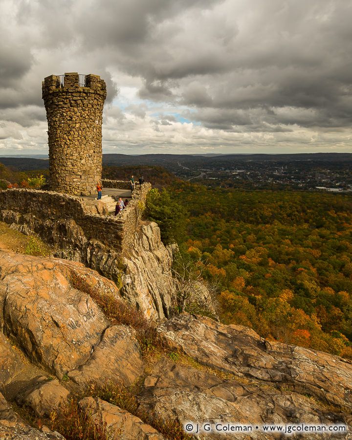

Castle Craig atop Hubbard Park, Meriden, Connecticut
Castle Craig, rising from the rampart cliffs of the Hanging Hills, is an enduring curiosity in New England’s largest municipal park. The stone tower was built over a century ago to resemble a medieval castle turret, crenels and all, and sits perched on a prominent cliff high above the city of Meriden. Surely a good deal of its local fame is derived from its visibility, for it can be seen from miles away in countless places from the surrounding valleys. It’s also a unique link to Connecticut’s roots as a manufacturing hub, its construction funded by wealthy-industrialist-turned-philanthropist Walter Hubbard just as America’s Gilded Age came to a close. He offered it free-of-charge to the people of Meriden along with a whopping 1,200 acres of woodlands and grounds landscaped by the Olmsteads.
There’s much that can be said of Castle Craig and the surrounding parklands, but the tower poses a bit of a mystery for modern-day visitors: what of it’s odd name? How did Castle Craig become “Castle Craig” even though its not really a castle? And who was Craig?
Interestingly, a 1901 article mentions “the tower just completed in Hubbard Park, on Castle Craig of the Hanging Hills of Meriden”, suggesting that the mountain top itself was named Castle Craig, not the tower. And indeed, many writings published in the first few decades of the 20th century refer to “the Castle Craig tower” rather than referring to the tower itself as Castle Craig (even Meriden’s official website refers to it as such).
So, in what may seem like an unlikely twist, the tower we know today as “Castle Craig” appears to have actually inherited that name from the peak on which it was built. And it probably wouldn’t be too much of a stretch to imagine that old Hubbard hatched the idea for a castle-like tower on that mountain promontory precisely because it was already named Castle Craig to begin with.
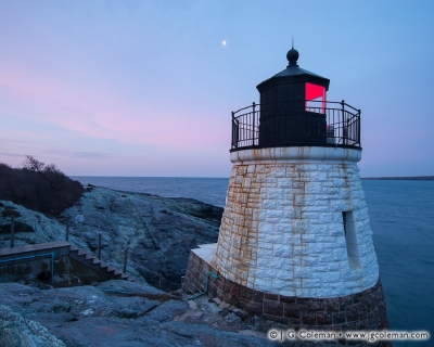 As far as I can tell, the Castle Hill Lighthouse was designed to look castle-like because it was being built on a place that had been named Castle Hill for years already.
This wouldn’t be the first time that such a thing happened in New England, either. A few years ago I had the pleasure of photographing the Castle Hill Light, a lighthouse built in 1890 overlooking Narragansett Bay on the Rhode Island coast. There’s no doubt that the Castle Hill Light was constructed to look castle-like, with rough-cut granite blocks of assorted sizes expertly fit together to form a squat tower. I wrote about that beacon in August 2016:
“Bearing certain resemblance to the turret of some medieval fortress, one could be forgiven for mistakenly assuming that Newport’s Castle Hill Lighthouse lent its name to the hill rising inland from its rocky, oceanfront perch. As it happens, though, the modest knoll beside Narragansett Bay was called Castle Hill at least as early as the 1860s, decades before the first of the lighthouse’s granite blocks were laid (perhaps it was the hill’s name that inspired the lighthouses design?).”
Who would’ve thought?
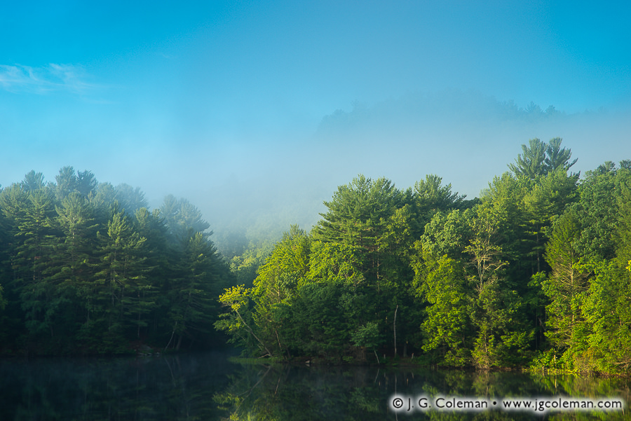
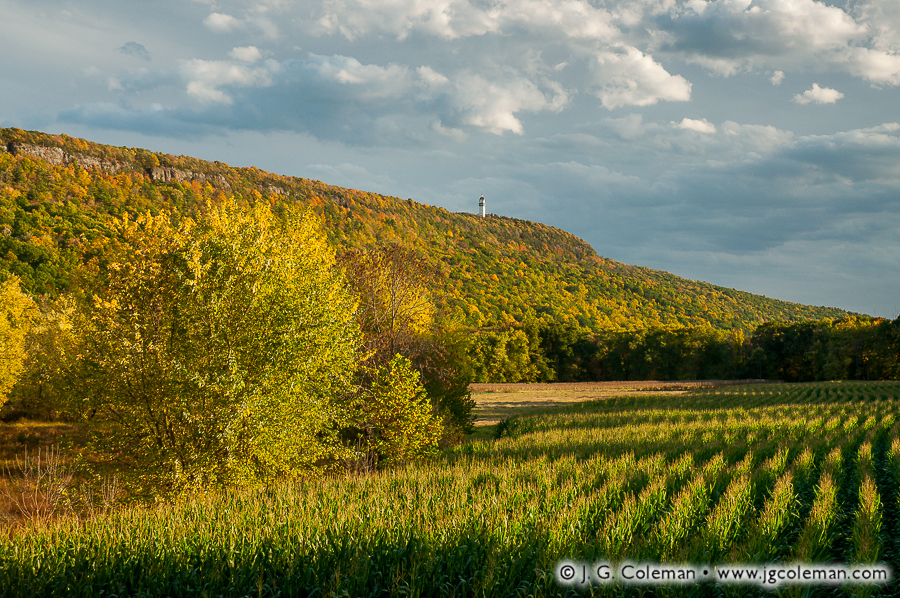
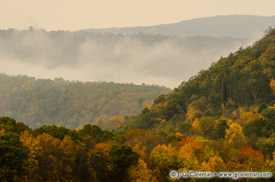
Perhaps the next logical question is how a mountain summit comes to be named after a castle. Maybe it takes a bit of imagination, but it has by no means been unusual over the centuries for prominent mountains or peaks to be likened to castles and named as such. Castle Peak, a mountain nestled in California’s Sierra Nevada, is so named for its natural, tower-like rock outcroppings. Then there’s Castle Mountain in the Canadian Rockies, the cliffs of which possess natural horizontal markings that give the impression of courses of granite blocks as would be seen in castle walls. That a traprock cliff which rises high and mighty above the City of Meriden might be likened to a grand castle edifice is certainly believable, even if not explicitly stated in any writings I can find.
So we’ve established that the mountain summit itself is the “real” Castle Craig, even if that name has long since been usurped by the tower. And we’ve seen that there’s precedent in likening mountains or mountain peaks to medieval castles. But that still leaves one question: who was Craig and why did he get a mountain top named after him?
What records I can find offer no insight into that question. Books and articles published around 1900, shortly after a winding mountain road leading to Castle Craig was completed as part of Hubbard Park, describe the peaks of the Hanging Hills as having been very rugged and difficult to access in prior years. It’s probable that Castle Craig was only very rarely visited before Hubbard built a mountain road that offered easy access. Before then, it was likely a somewhat obscure peak which wouldn’t have warranted mention in writings of the time. Consequently, I can only offer speculation here. As others have theorized in the past, the name “Castle Craig” probably wasn’t derived from a family of Craigs. Instead, it seems more feasible that it was a minor corruption of an earlier name: “Castle Crag”. We tend not to use the term ‘crag’ much these days to describe boulders or rocky peaks, but it was part of the common lexicon in the 19th century (Google’s Ngram Viewer suggests that ‘crag’ occurred an average of about 4 or 5 times more often in writing during the 1800s than it does now).
Purchase a Fine Art Print or Inquire About Licensing
Click here to visit my landing page for “Keep of the Hanging Hills” to buy a beautiful fine art print or inquire about licensing this image.
Want to See More?
Be sure to check out all of my work from Meriden, Connecticut.