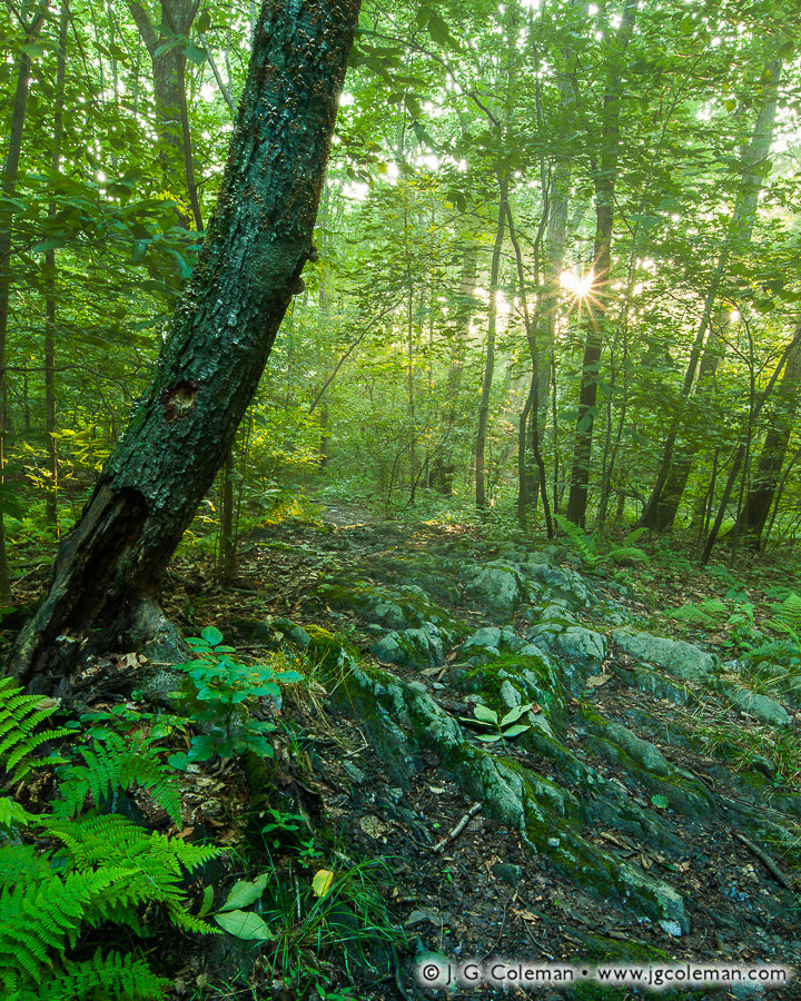
Alice Newton Street Memorial Park, Woodbridge, Connecticut
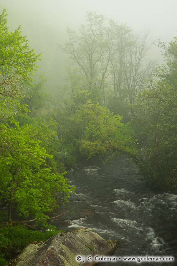
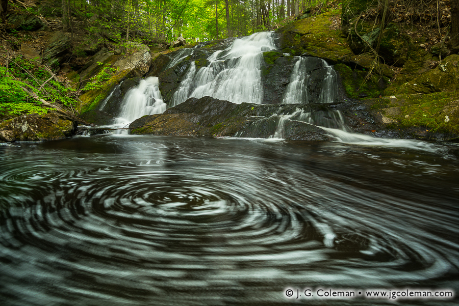
In my newly-released piece, “Woodland Remembrance”, sunlight pierces the forest canopy in the heart of Woodbridge, transforming the understory into a blissfully verdant landscape fit for a fairytale.
Although Connecticut began building its state park system in the mid-1910s and town-owned parks had existed far earlier, nature preserves owned for the public good outside the realm of government were generally a slightly later phenomenon.
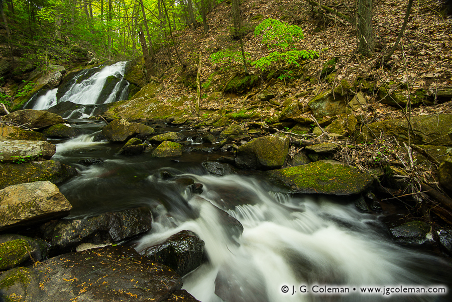
The Woodbridge Park Association, operating independently of Woodbridge’s town government, was among the earliest organizations in Connecticut to acquire and manage preserved land on a not-for-profit basis. The Association got its start back in 1928 when it was founded in order to fulfill the vision of philanphropist Newton Street who had decided to forever preserve over 80 acres of land in memory of his mother, Alice Street. The result, featured in this latest piece of mine, was the Alice Newton Street Memorial Park.
Purchase a Fine Art Print or Inquire About Licensing
Click here to visit my landing page for “Woodland Remembrance” to buy a beautiful fine art print or inquire about licensing this image.
Want to See More?
Be sure to check out all of my work from Alice Newton Street Memorial Park.